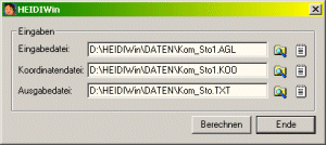
HEIDIWin
HEIDIWin is adjustment and network planning software for the observation types of terrestrial levelling/trigonometric height differences, ellipsoidal GNSS/GPS-height differences and the combination of both height observation types by a polynomial based modelling of the local height reference surface (HRS).
Download HEIDIWin


