Online Coordinate Transformation - Hungary
Databases
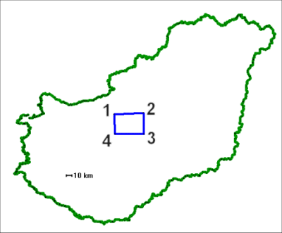
The test-databases (EOV->ETRS89 and ETRS89 -> EOV) were computed with the CoPaG-Software based on identical points (not from FÖMI). These databases can be used on this page for test purposes. They are valid for the geographical region shown in the figure.

The geographical coordinates in ETRS89 of the area corners read
1 (47.428°, 18.714°),
2 (47.334°, 19.386°),
3 (47.002°, 19.266°),
4 (47.120°, 18.617°)
Computation Examples (Settings)
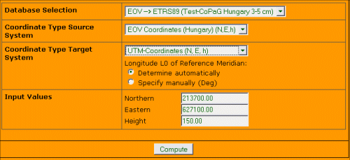
1. Transformation from Hungarian EOV to ETRS89
Example for one of the identical points (Point No. 55-1066) used for the database computation:
With the following EOV-Coordinates
Northern = 213735.230, Eastern = 627110.430, Height = 153.250
the following result in UTM Coordinates should be received:
Northern = 5237332.891, Eastern = 34329419.881

2. Transformation from ETRS89 (GNSS) to Hungarian EOV
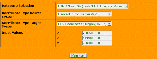
2.1 With geocentrical GNSS/GPS-Coordinates as Source
Example for one of the identical points (Point No. 55-1066) used for the database computation:
With the following geocentrical ETRS89 Coordinates
X = 4106051.853, Y = 1393414.351, Z= 4662123.997
the following results should be received:
Northern = 213735.230, Eastern = 627110.430

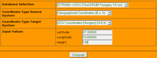
2.2 With geographical GNSS/GPS-Coordinates as Source
Example for one of the identical points (Point No. 55-1066) used for the database computation:
With the following geographical ETRS89 Coordinates
B = 47.267279380, L = 18.744964465, h= 197.159
the following results should be received:
Northern = 213735.230, Eastern = 627110.430


